|
|
|
Special Research Center 267
DEFORMATION PROCESSES IN THE ANDES
|
Freie Universitaet Berlin · Technische Universitaet Berlin · GeoForschungsZentrum Potsdam · Universitaet Potsdam
Sedimentation, tectonics and volcanism in the Salar de Antofalla area, southern Puna (NW Argentina) - Project D1B
Photos
Volcanism
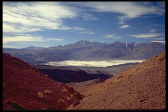
Fig. 1 Westward view on the volcan Tebenquicho located in the northern part of the Salar de Antofalla area.

Fig. 2 Thick ignimbrites exposed in the Quebrada Archibarca (located west of Vega Caballo Muerto). An Ar-Ar age determination indicates a Pliocene age (3.64 ± 0.02 Ma).
Permian strata
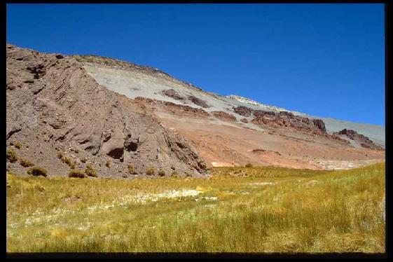
Fig. 3 Northwestern part of the Salina del Fraile. Aeolian sediments of Permian age.
Tertiary strata
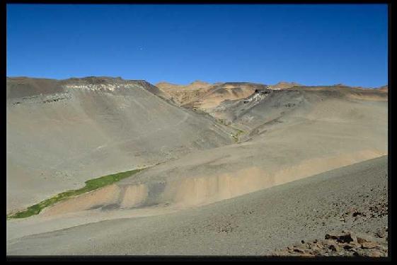
Fig. 4 View into a valley located NW of the village Antofalla. Late Eocene to early Miocene Quiñoas sediments disconformably overlain by Miocene Potrero Grande sediments (with thick intercalated ignimbrites).
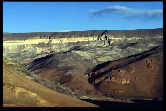
Fig. 5 View on the eastern flank of the Salina del Fraile. In front, Permian sediments overlain by Late Eocene to Early Miocene Quiñoas sediments. In the background, white-coloured ignimbrites forming the uppermost part of Miocene Potrero Grande Formation.
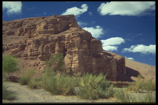
Fig. 6 Quiñoas Fm. - reddish sand and siltstones of an fluvial distributary system.
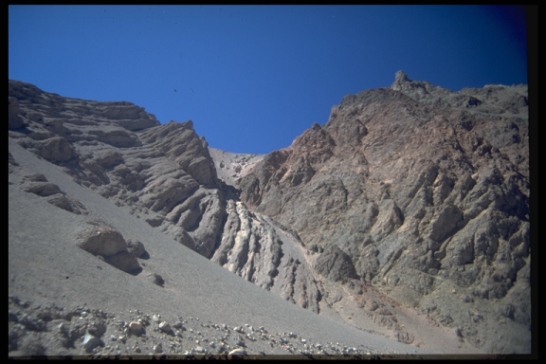
Fig. 7 Progressive angular unconformity indicating synsedimentary tectonic activity during the Early Miocene.
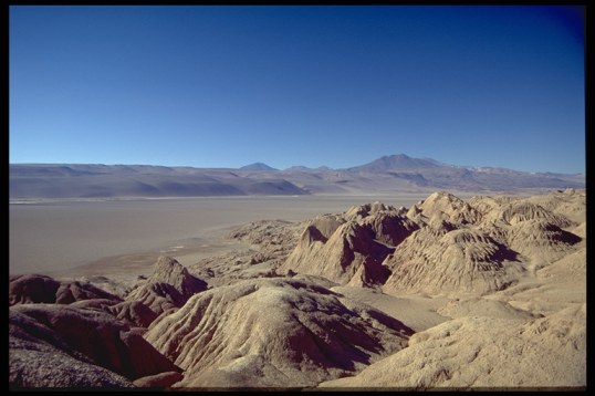
Fig. 8 Westward view from the eastern border of the Salar de Antofalla. In front the evaporite-bearing sediments of the Mid-Miocene to Pliocene Juncalito Fm.
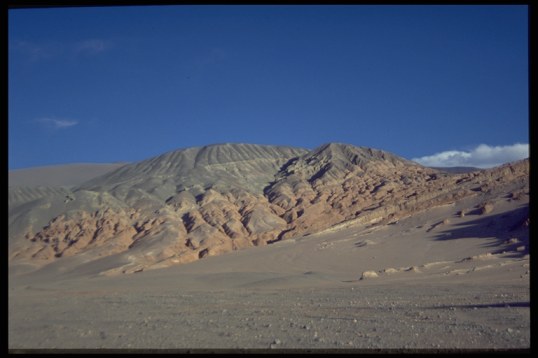
Fig. 9 Reddish sand and siltstones of the Mid-Miocene to Pliocene Juncalito Fm. unconformably overlain by green sandstones and conglomerates of the Pliocene to recent Escondida Fm.
Team work
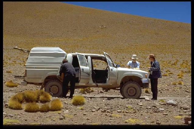
Fig. 10 D1B team at work.
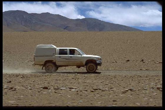
Fig. 11 Race at 5000 m altitude.
Back to Top
|